


Disclosure: This post may contain affiliate links, which means we may receive a commission if you click a link and purchase something that we have recommended. While clicking these links won't cost you anything, they will help us keep this site running and free for everyone.
Madeira Island is a destination that has become famous for its natural beauty, and it’s no secret that one of the best ways to experience it is by going on a hike. After visiting Madeira for a total of 3 weeks and experiencing many of the hikes on offer, we can confidently say that these are hikes you don’t want to miss!
In this guide, we wanted to share our top 8 must-do hikes on Madeira, each offering different views of the islands stunning landscapes. These hikes all vary in diffiuclty, so whether you're experienced or a beginner, you'll find a trail that suits your experience level.
1. Pico Do Arieiro Pico Ruivo (PR 1)
- 📌 Distance - 6.1 km (one way)
- 🏔️ Elevation - 400m
- ⏲️ Estimated Time - 3-4 hours
- 📈 Difficulty - Moderate
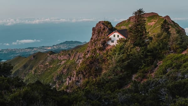
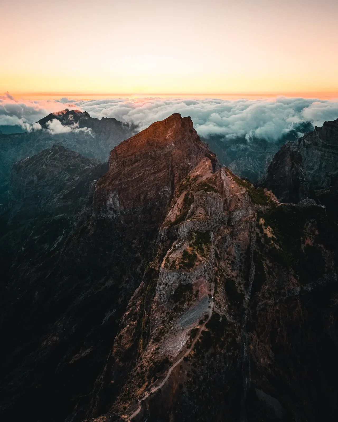
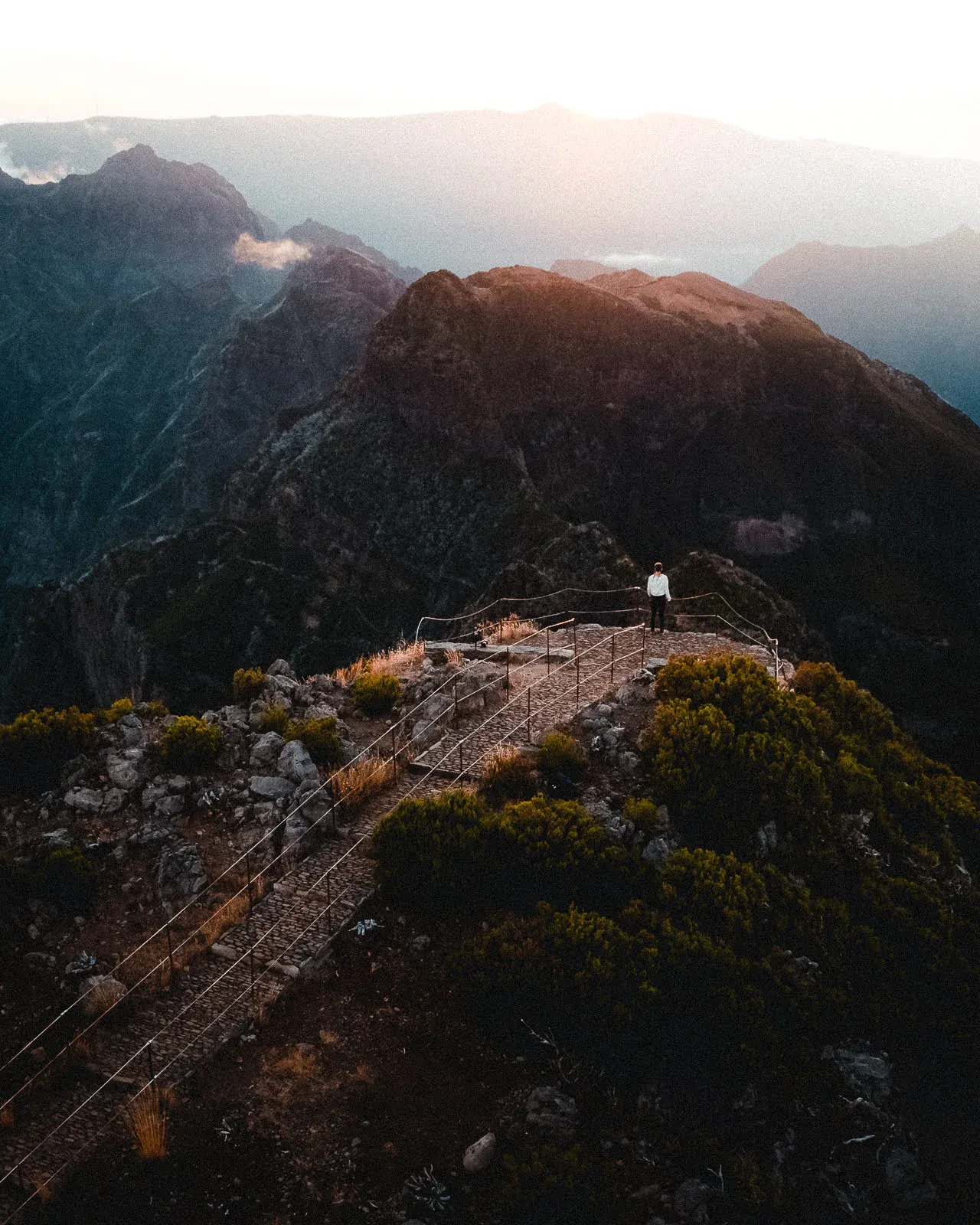
One of our favorite hikes is the Vereda do Areiro, or commonly known as the Pico Do Arieiro to Pico Ruivo. This is a moderately challenging hike, but it’s certainly doable for most people and you’ll be rewarded with some of the best views of the highest mountains.
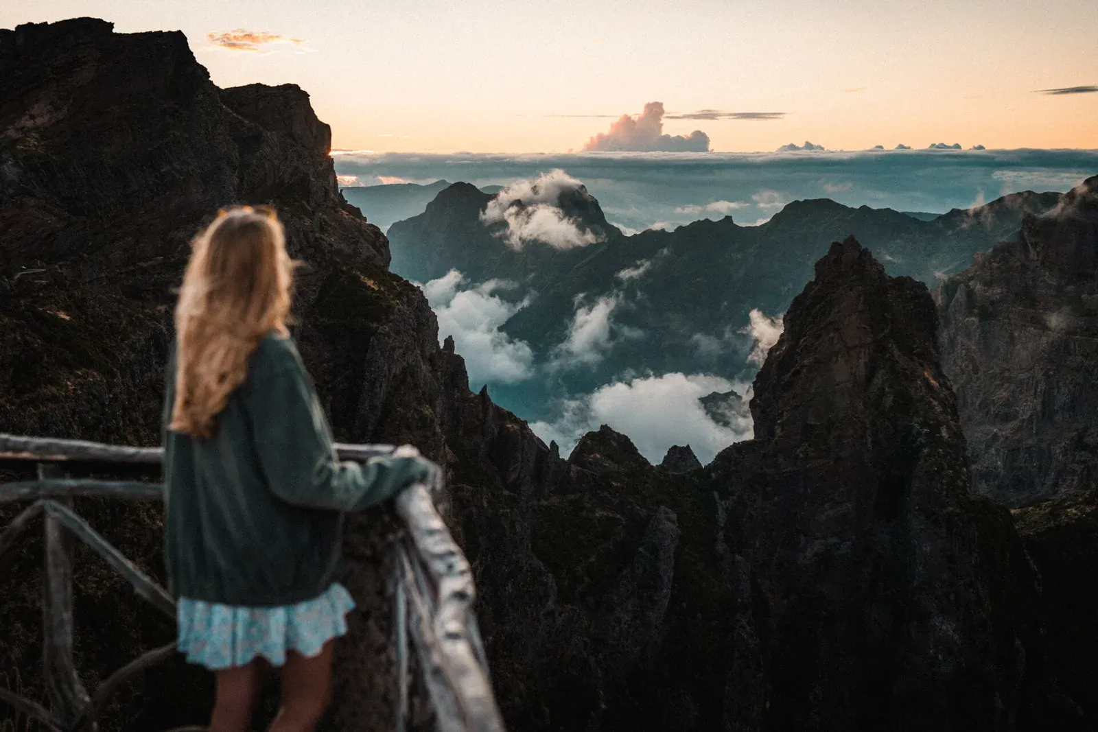
This trail starts at the Pico do Areiro, the third-highest peak on the island, and winds its way along the ridge to the Pico Ruivo, the highest peak on the island.
The trail takes you through a variety of landscapes, including rocky peaks and tunnels carved into the mountainside and the weather can change without warning – so make sure to bring a torch and a waterproof!
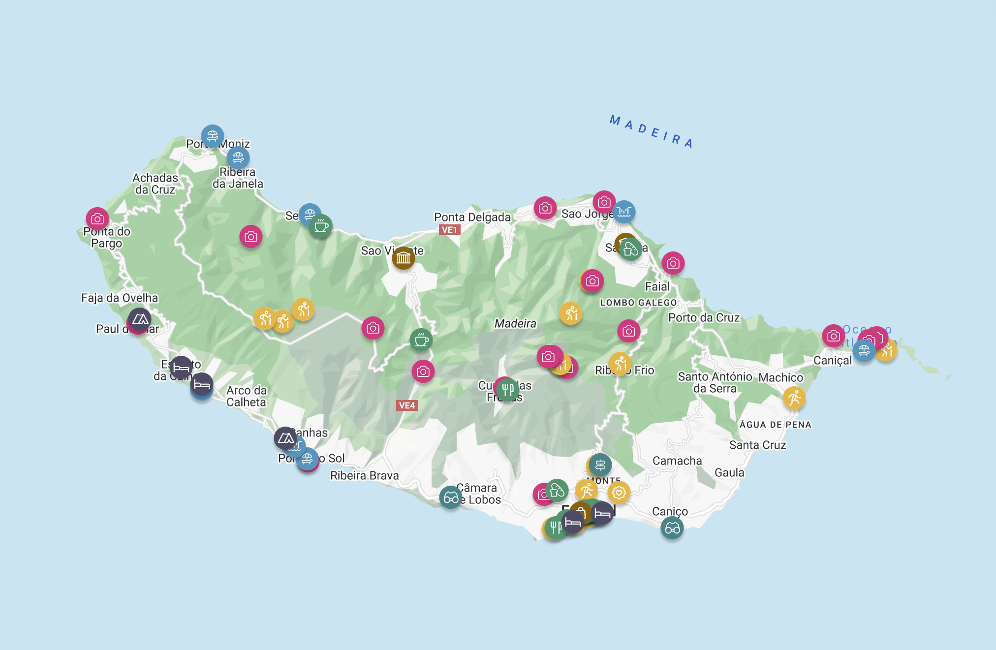
Check out our Madeira map & travel guide for more hidden gems, hikes & photo spots like this one 👇

Going to Madeira? These spots are too good to miss 👀
Unlock exclusive access to our favourite hikes, hidden gems, photo spots & more with our interactive digital map & travel guide.
We chose to park at the Pico do Areiro car park and complete the hike both ways, covering a total distance of approximately 12 kilometers and taking around 6-8 hours to complete.

You can also opt to do the hike one way, starting from either end and finishing at the other, as you can drive to both points. However, if you choose to do it you will have to book a transfer or arrange for someone to pick you up at the other end.
This is one of the most popular hikes on the island so we would definitely recommend starting this hike during or after sunrise as it will be much quieter and if you’re lucky, the morning light will make for some beautiful photos at the lookouts along the way.
2. Lagoa Do Vento (PR 6.3)
- 📌 Distance - 3.6 km (round trip)
- 🏔️ Elevation - 200 m
- ⏲️ Estimated Time - 2-3 hours
- 📈 Difficulty - Easy
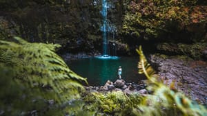
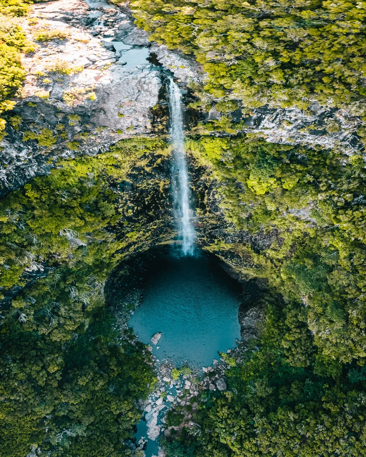
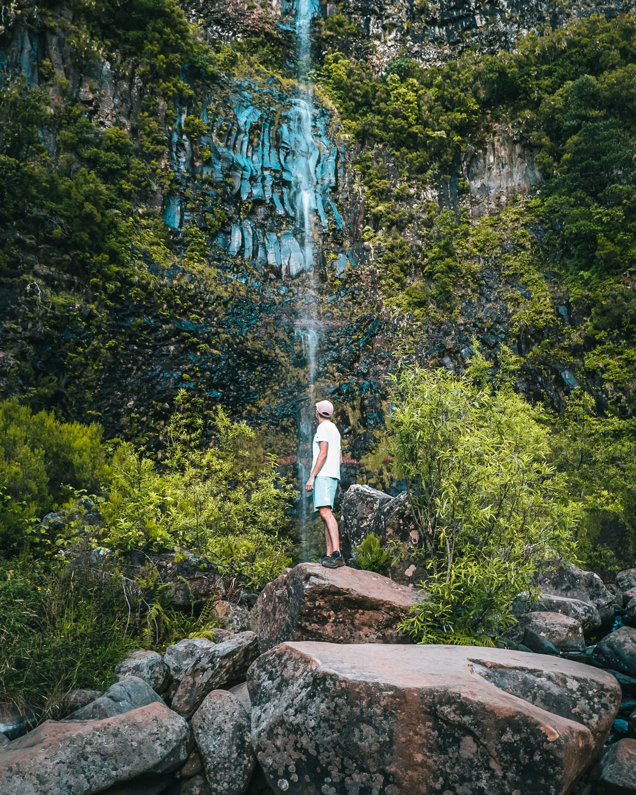
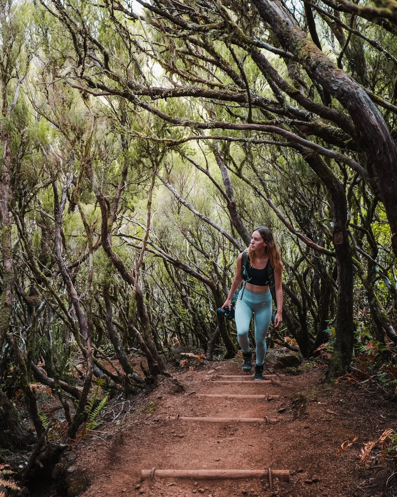
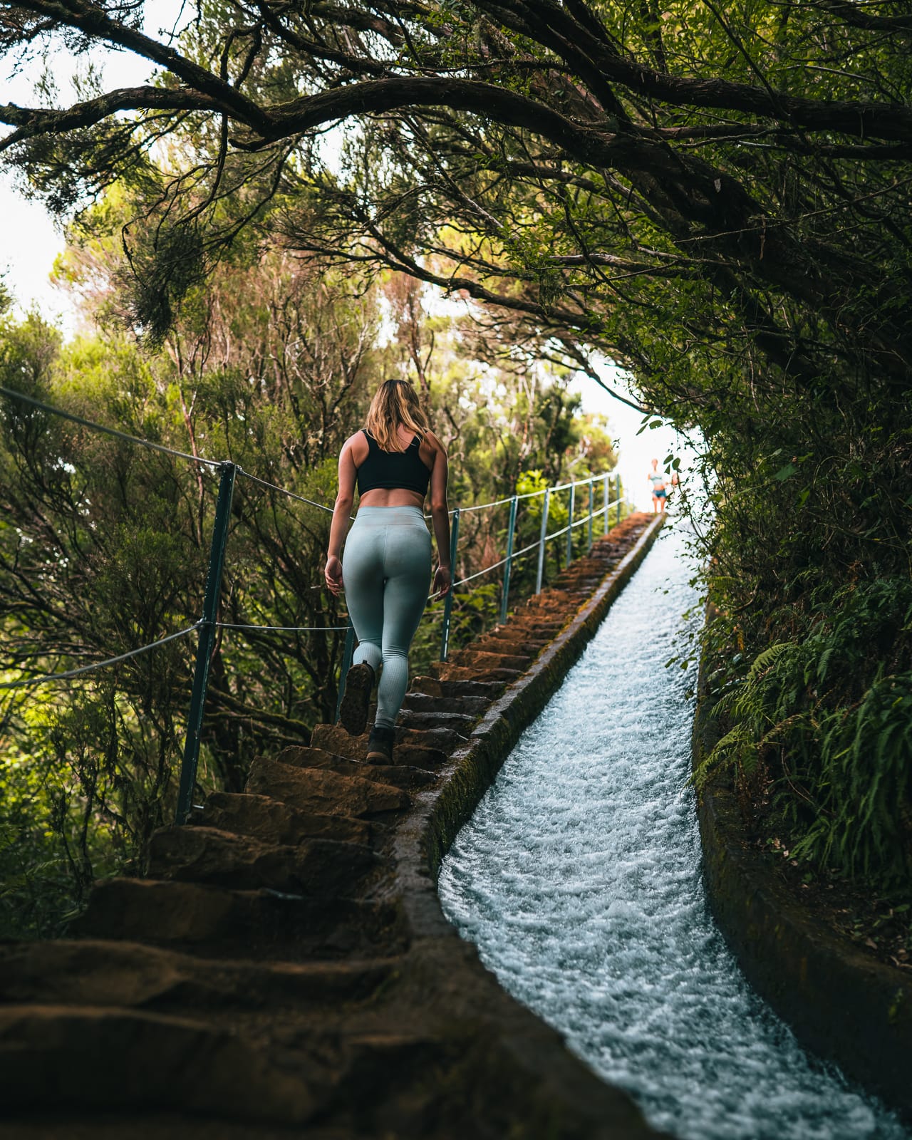
The Lagoa do Vento hike is a trail that takes you off the beaten path, leading you through the enchanting laurel forest and ending at the Lagoa do Vento waterfall cascading down into a crystal-clear pool. This is definitely one of the most photogenic hikes, as the laurel forest is very unique and makes for some incredible photos.
This trail is located in the Rabaçal area and starts from the main car park but doesn’t follow the paved road along with the rest of the walks, instead it veers to the right before the road.
Photos edited with our Adventure Collection Presets ✨
Like the many other hikes in Madeira, you’ll be following a flat levada for most of this trail, and then down a winding set of stairs down to the waterfall. The stairs go quite a long way, so be prepared for a decent climb back up on your way back.
3. Ponta De Sao Lourenco (PR 8)
- 📌 Distance - 8 km (round trip)
- 🏔️ Elevation - 448 m
- ⏲️ Estimated Time - 3 hours
- 📈 Difficulty - Easy
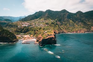
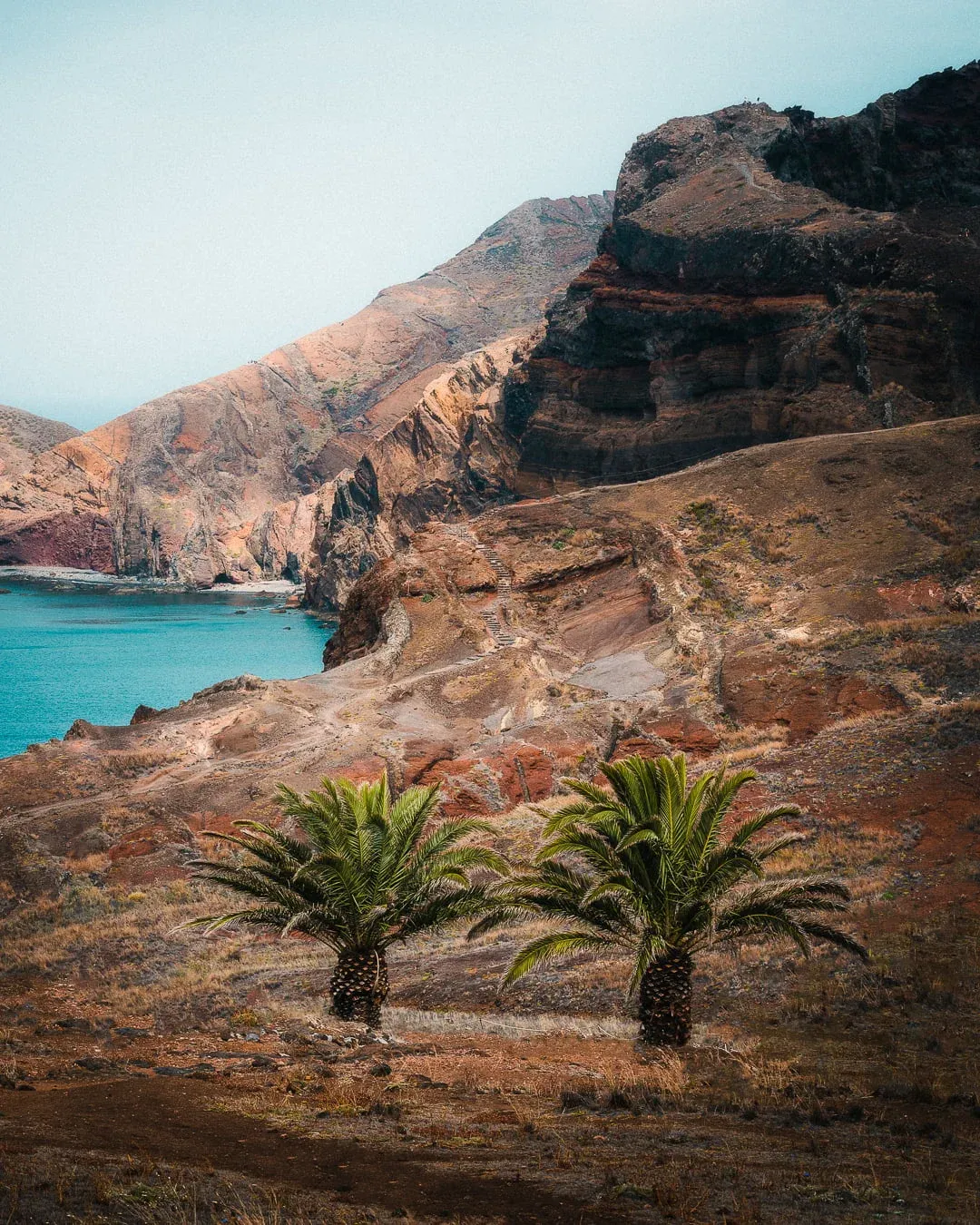
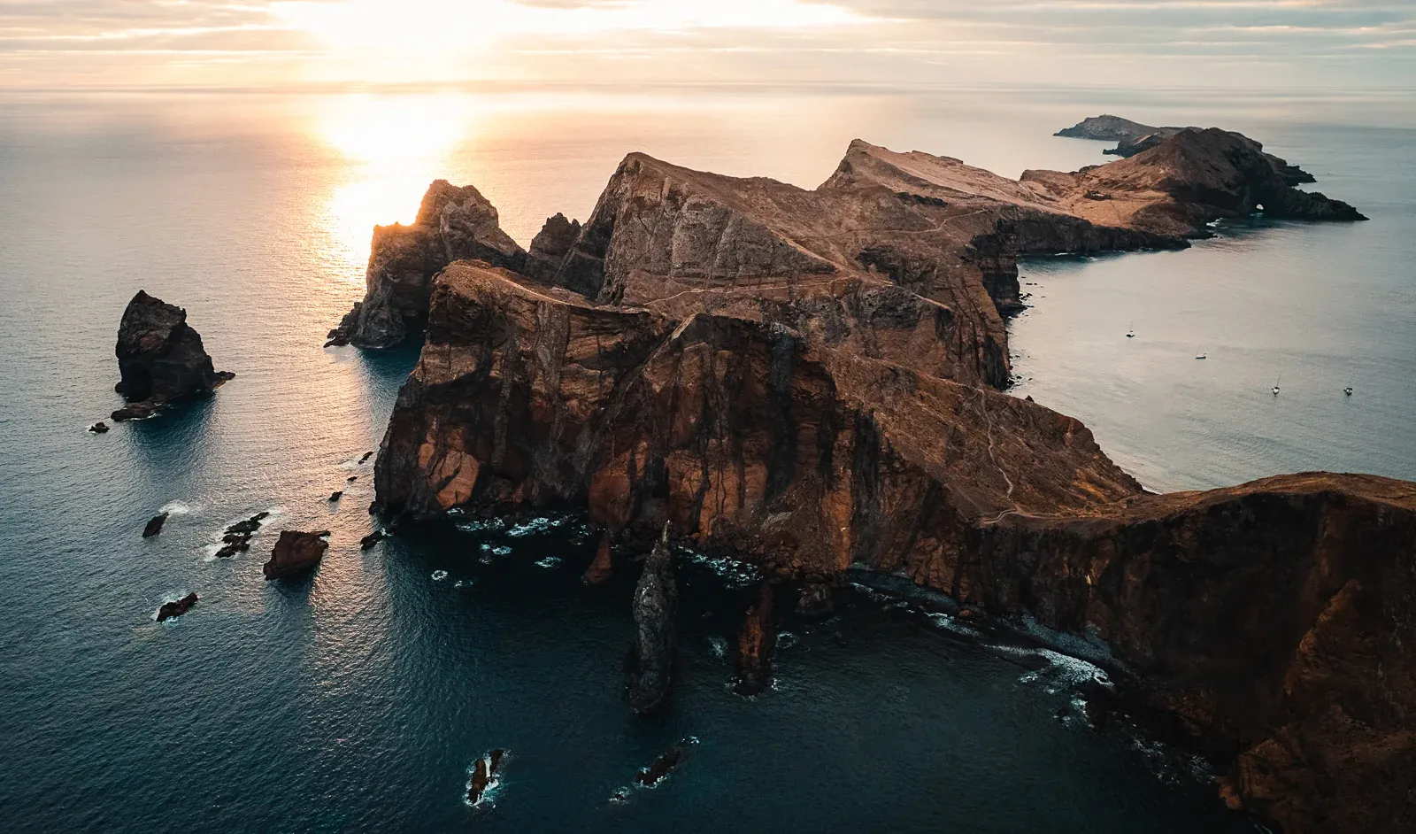
This hike along the red volcanic rock landscape is a completely different experience compared to other hikes on the island. It takes you along the scenic coast to the tip of the island, offering stunning views of Madeira’s volcanic cliffs above the rough Atlantic Ocean.
This landscape will make you feel like you’re on another planet, with orange and red rock formations and turquoise water crashing below. The trail starts from Ponta de São Lourenço Parking, which is at the end of the ER109 road on the eastern point of the island, and is marked all the way along.
The Ponta de São Lourenço trail is reasonably flat and easy all the way, covering a distance of around 6km, it takes around 2-3 hours to complete with plenty of viewpoints and lookouts along the way.
Towards the end of the trail you’ll find a café serving some rather expensive food and drinks, but we coughed up and devoured a brownie as we had forgotten our lunch!
4. Levada Do Caldeirao Verde (PR 9)
- 📌 Distance - 7.4 km (round trip)
- 🏔️ Elevation - 100 m
- ⏲️ Estimated Time - 3-6 hours
- 📈 Difficulty - Easy
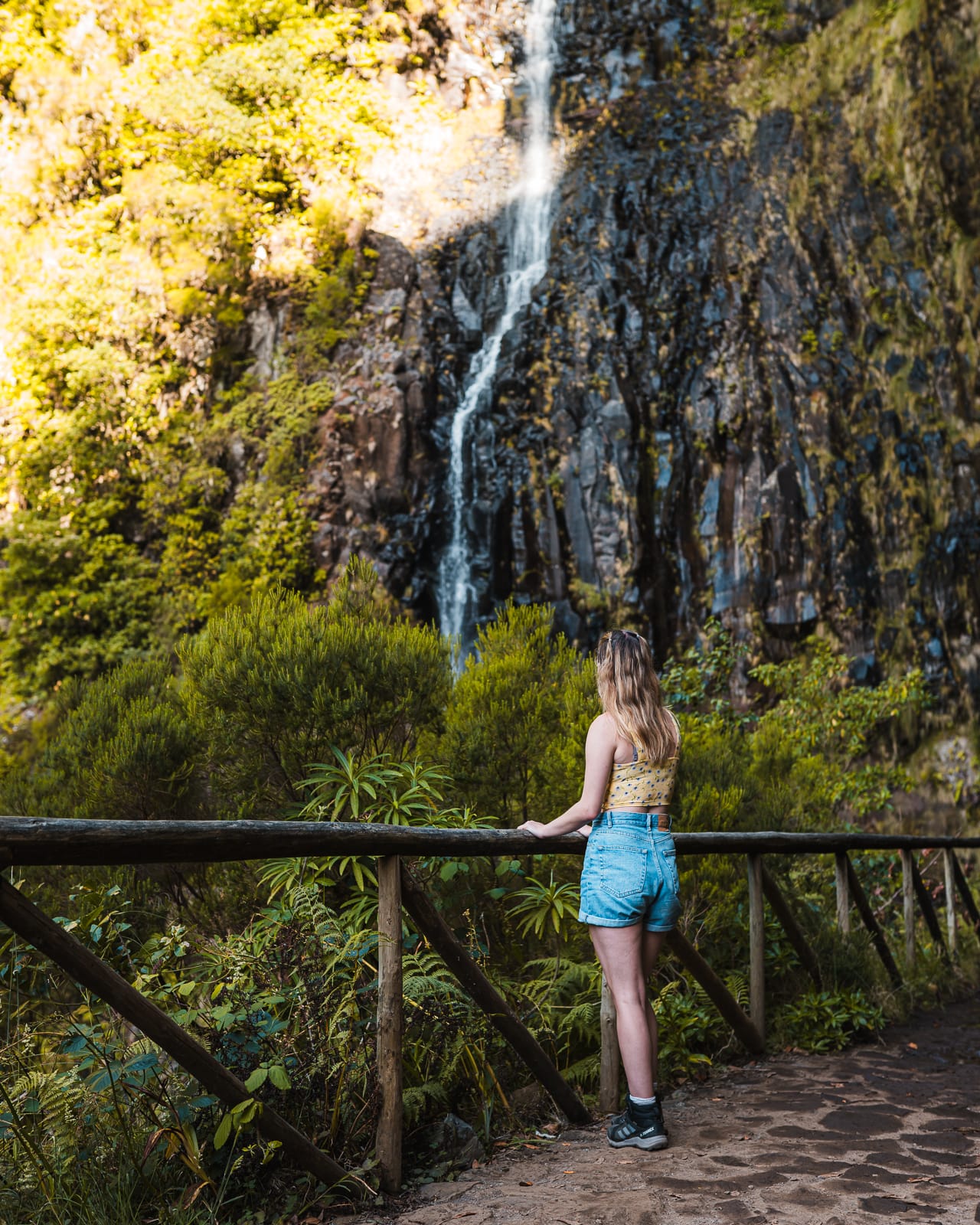
Levada Do Caldeirao Verde is one of the most scenic hikes in Madeira, leading you through the lush forest to a 30m waterfall plunging into a pool below.
It's slightly longer than other hikes at 12 km, but it's a relatively flat and simple trail that is one of the most rewarding on Madeira Island, especially after a lot of rainfall.
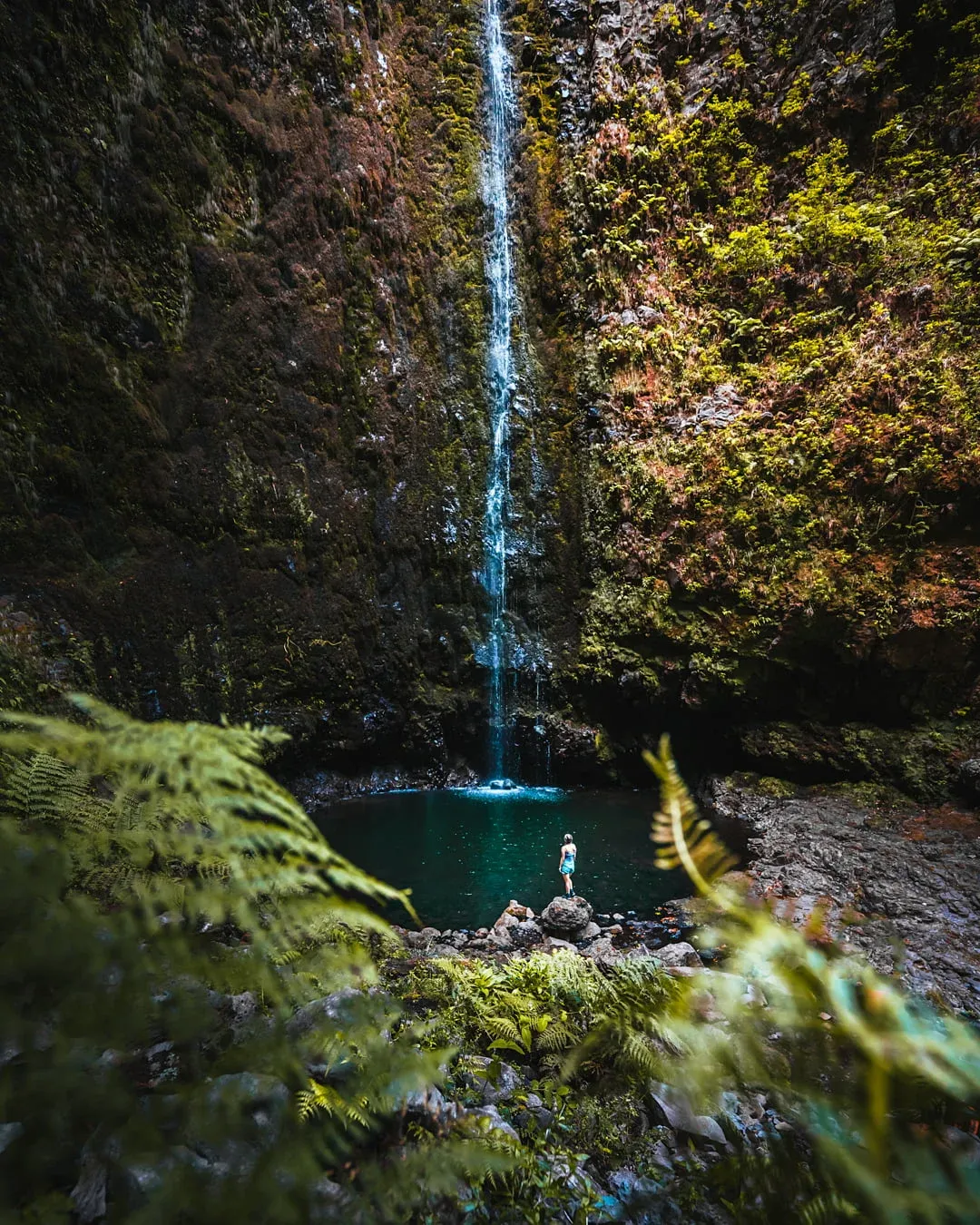
The trail winds along a levada, with stunning views of the mountains and forests along the way. There's also four tunnels to go though, so make sure to bring a torch.
The path can be narrow, winding and slippery at times so you definitely need to have good hiking boots and be steady on your feet!
5. Vereda do Pico Ruivo (PR 1.2)
- 📌 Distance - 5.6 km (round trip)
- 🏔️ Elevation - 250 m
- ⏲️ Estimated Time - 2 hours
- 📈 Difficulty - Moderate
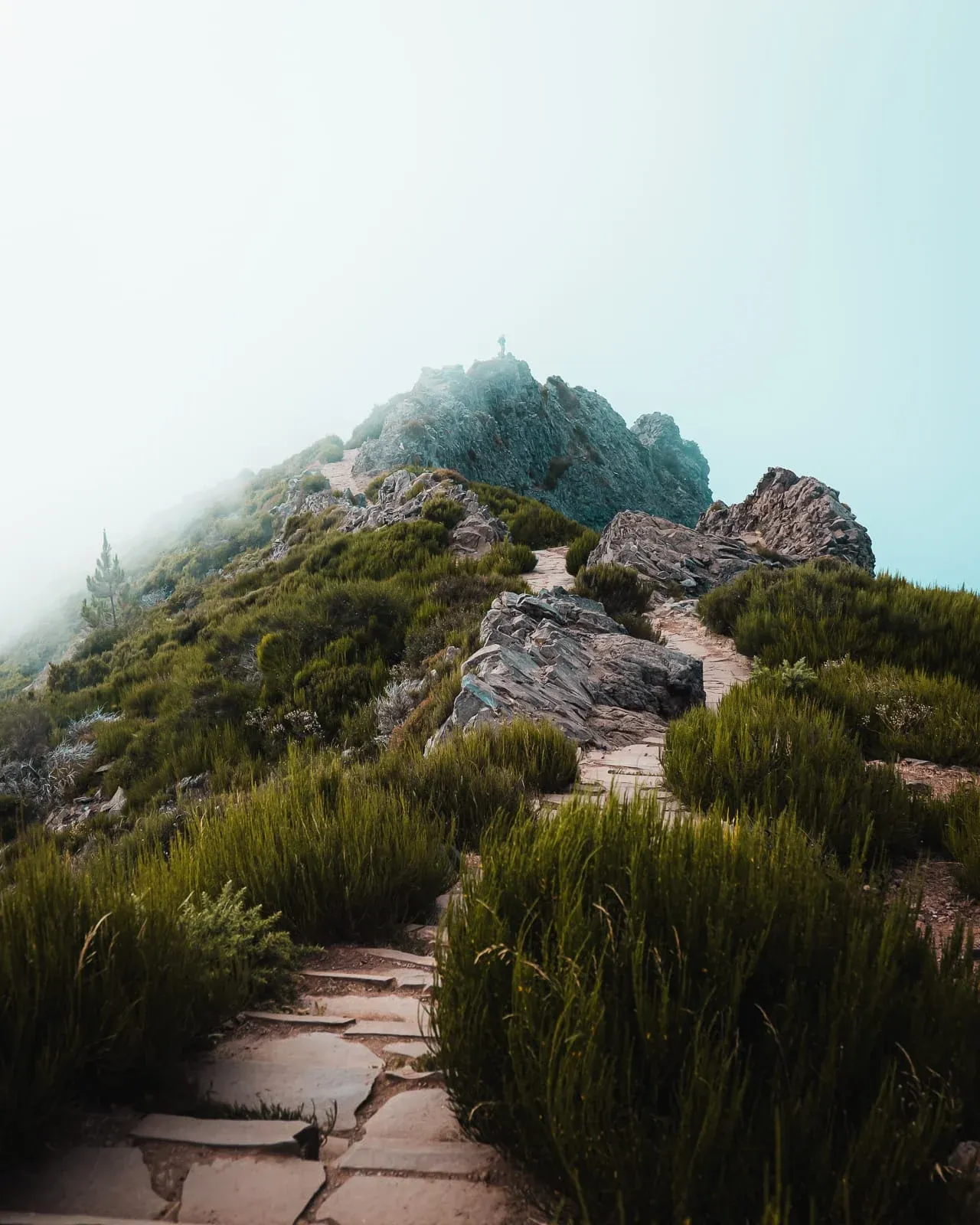
The Vereda do Pico Ruivo hike is a shorter and less challenging alternative to the Pico Do Arieiro to Pico Ruivo trail, taking you to the summit of Pico Ruivo, Madeira’s highest peak, in just 1-2 hours.
The trail starts at Achada do Teixeira and winds through rocky peaks until you reach the summit of Pico Ruivo, where you have incredible panoramic views of the Island, with lush rolling mountains and turquoise blue sea views.
Although short, the Vereda do Pico Ruivo hike is generally classified as moderately difficult due to the climb from the car park up to the summit.
We found the climb to be relatively gentle most of the way up, following a well-maintained path. However, as you near the peak to enjoy the 360-degree views, be prepared for a leg-burning climb up a steep set of stairs.

Luckily, just before the stairs you’ll find a small, serving food, drinks, and a place outside to refill your water bottle.
6. 25 Fontes hike & Levada do Risco (PR6 / 6.1)
- 📌 Distance - 8 km (round trip)
- 🏔️ Elevation - 300 m
- ⏲️ Estimated Time - 2-3 hours
- 📈 Difficulty - Easy-Moderate
This is one of Madeira’s most popular levada walks and it's easy to see why. The trail begins in the Rabaçal area and winds through lush Laurisilva forest, following levadas all the way to the stunning 25 Fontes waterfall, where water cascades down moss-covered cliffs into a crystal-clear pool.
A short detour takes you to Levada do Risco, another dramatic waterfall that drops from a tall rock face. The scenic trail takes you though a mix of stairs, narrow ledges and shaded forest paths. It can get quite busy, so we recommend arriving early or later in the day.
7. Bica da Cana Viewpoint Walk
- 📌 Distance - 2 km (round trip)
- 🏔️ Elevation - 100 m
- ⏲️ Estimated Time - 45 minutes
- 📈 Difficulty - Easy
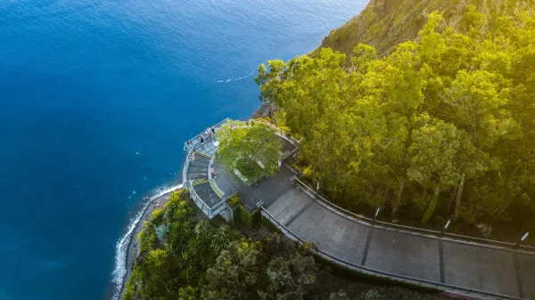
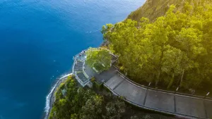
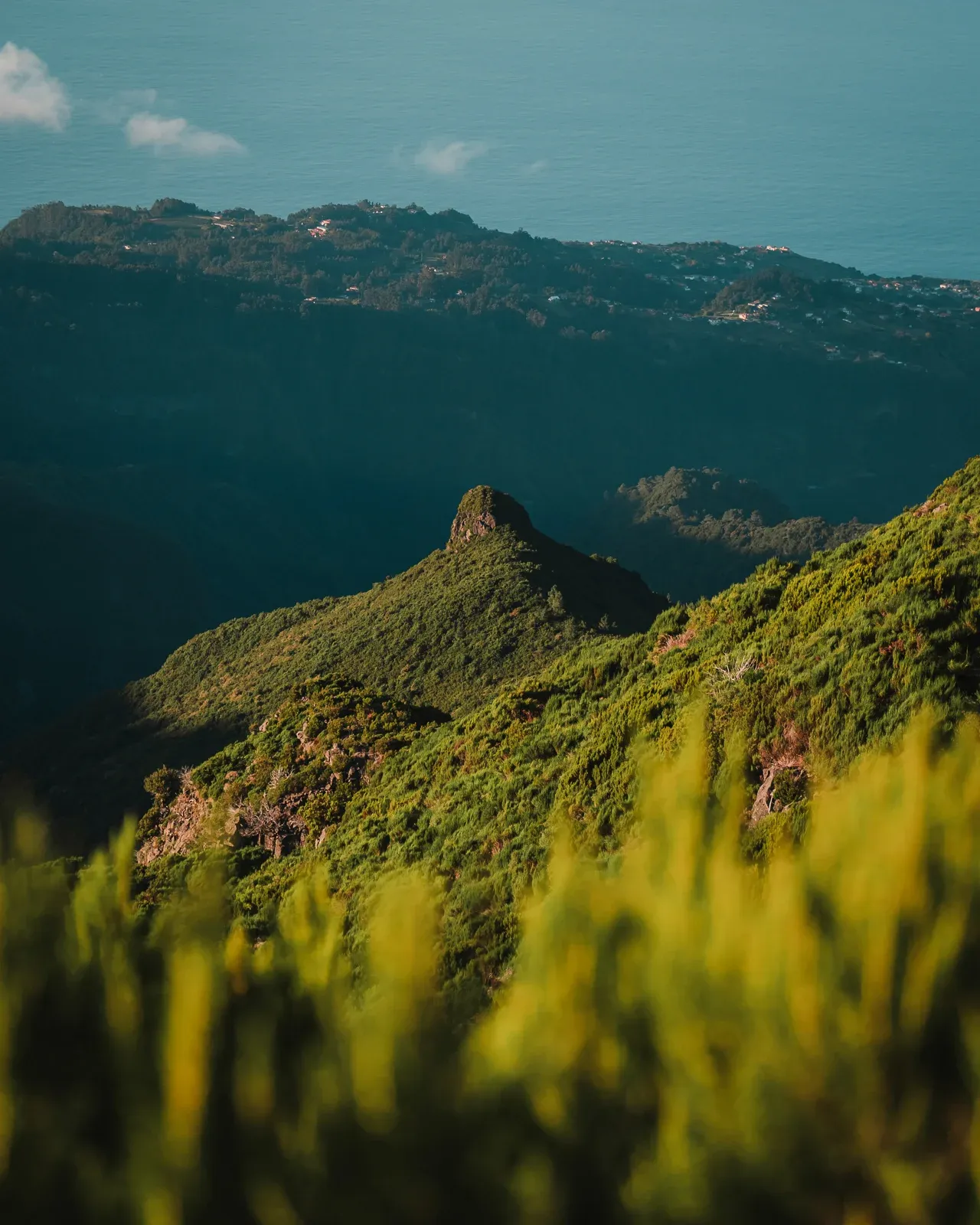
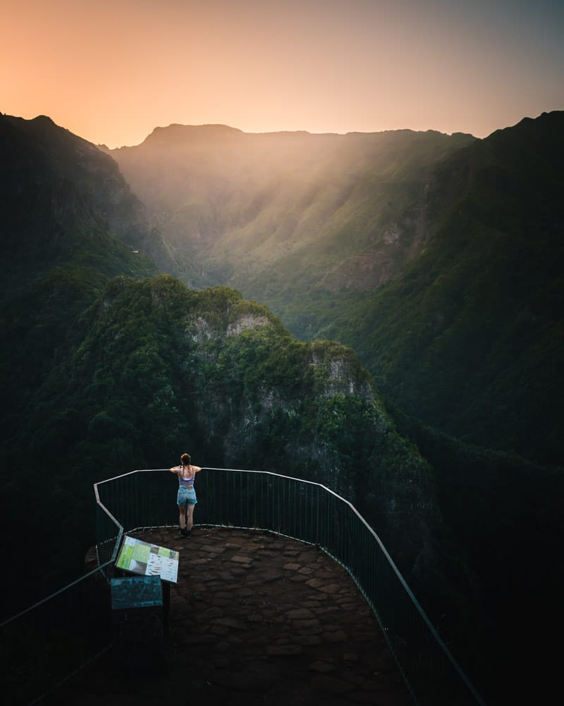
Bica da Cana is one of the most underrated short walks on the island and offers panoramic views over the Ribeira Brava valley, central mountain peaks, and the ocean.
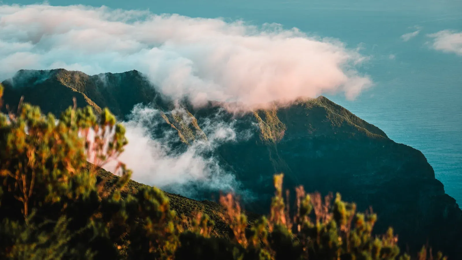
The trail is short and easy, but incredibly rewarding, especially if you catch it at sunrise or above the clouds. There's a small parking area nearby and the path takes you along a ridge with unobstructed views, making it a great option for photographers and those looking for a low-effort, high-reward experience.
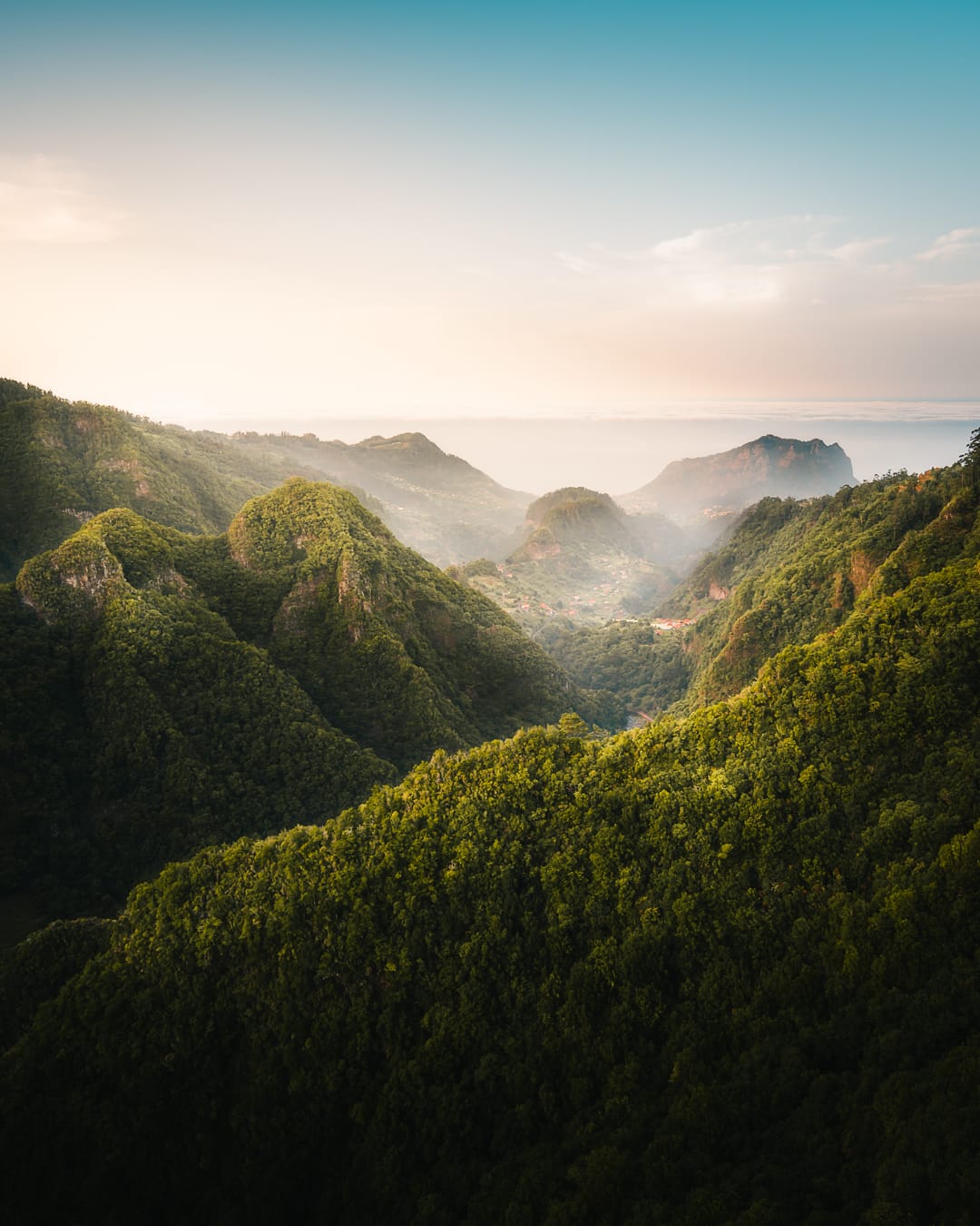
8. Levada dos Balcões (PR 11)
- 📌 Distance - 3 km (round trip)
- 🏔️ Elevation - 50 m
- ⏲️ Estimated Time - 1 hour
- 📈 Difficulty - Easy
The Balcões Viewpoint trail is short, flat and suitable for all fitness levels, but the view at the end is nothing short of breathtaking. The trail starts in Ribeiro Frio and follows a levada through forest until it opens up to a dramatic balcony overlooking the mountains, including Pico do Arieiro and Pico Ruivo. On a clear day, you can see all the way to the ocean.
👋 We hope that you found this guide helpful! Before you go - don't forget to explore our other Madeira travel guides here & grab our Madeira Travel Map for the best spots you won't want to miss 👀